Hand drawn maps
We are setting aside the digital tools for a session. This is all about making art and having fun. Hand drawn maps are an excellent way to think differently about geography, and open a world of opportunity when it comes to creativity and design.
Our goal at the hand drawn maps meetups is to give everyone an opportunity to collaborate on a single project, but also make space for anyone to work on their own project. We’ve found some inspiration in Danielle Dai’s hand-drawn-maps repository on Github.
We brought a few art supplies (colored pencils, sketching paper, water colors, sharpies, and lots of paper) but asked people to bring their own supplies in order to have enough for everyone. Note: people were very willing to bring their own supplies, so it worked out fine!
Below are the group projects we’ve worked on:
Hand drawn grid
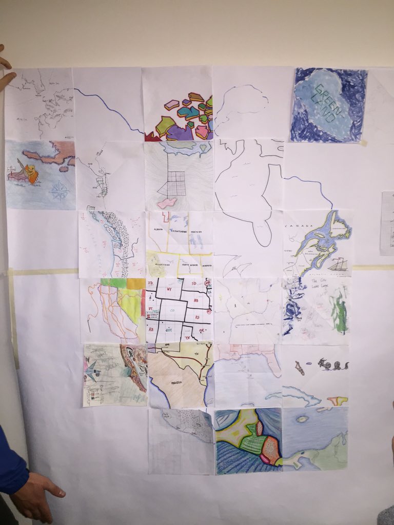
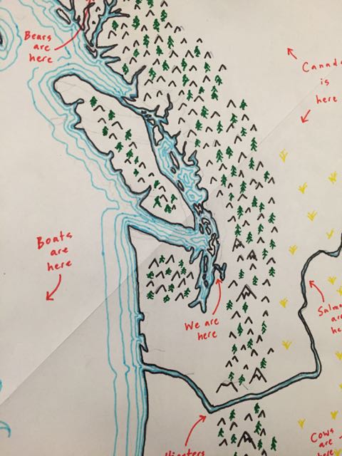
The group project involved taking a projected part of the planet and breaking it up into a grid, with enough cells for each individual coming to the meetup. Here’s what we started with, an Albers Equal Area projection of North America (created in QGIS) and broken into a 6x6 grid (added in Illustrator).
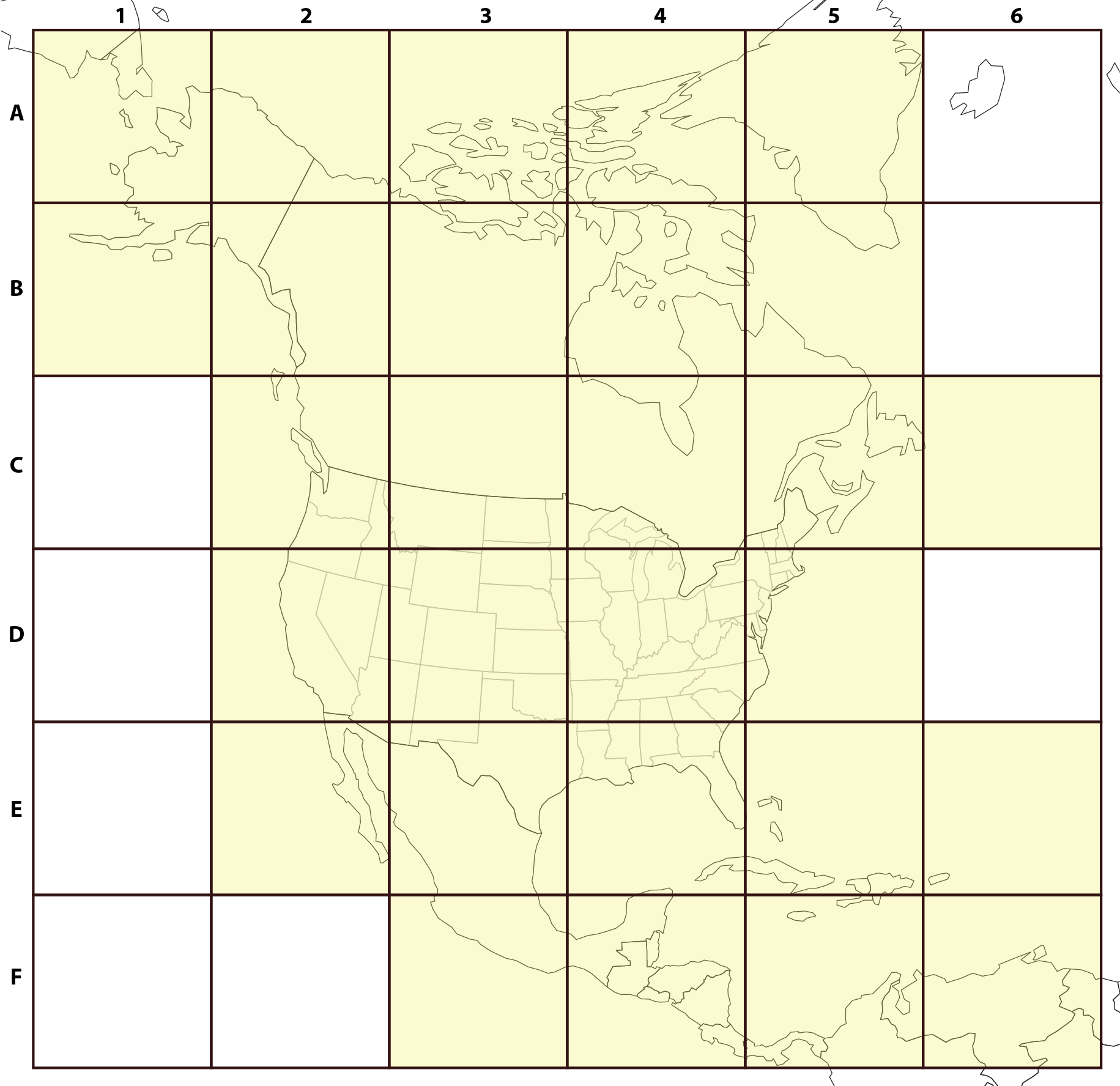
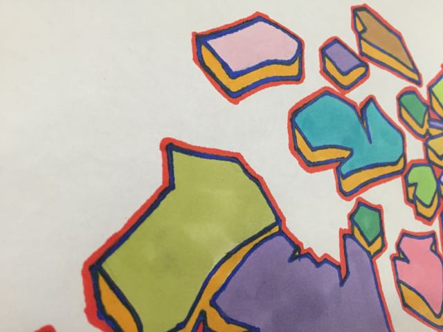
The goal is to have everyone choose a cell and draw that part of the grid using whatever tools and supplies they wanted and combine them at the end. Everyone chose a grid to their liking and took off - the project as a whole took about 1.5 hours. Here is the final product, with some close-ups:
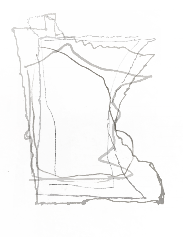
Collective shape from memory
This is a small quick project. We asked people to quickly draw an outline of the state of Minnesota, with intentions to overlay them all together.