Hand drawn maps
We are setting aside the digital tools for a session. This is all about making art and having fun. Hand drawn maps are an excellent way to think differently about geography, and open a world of opportunity when it comes to creativity and design.
In this, our second annual Hand Drawn Maps session, our goal was to give everyone an opportunity to collaborate on a single project, but also make space for anyone to work on their own project. We’ve found some inspiration in Danielle Dai’s hand-drawn-maps repository on Github.
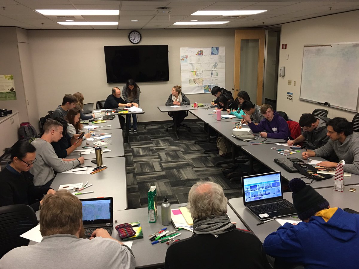
Our wonderful guest instructor Matt Stevenson brought a few art supplies (colored pencils, sketching paper, water colors, sharpies, and lots of paper) but asked people to bring their own supplies in order to have enough for everyone. Note: people were very willing to bring their own supplies, so it worked out fine! We also had chocolate and holiday music playing in the background.
Below are the group project we worked on:
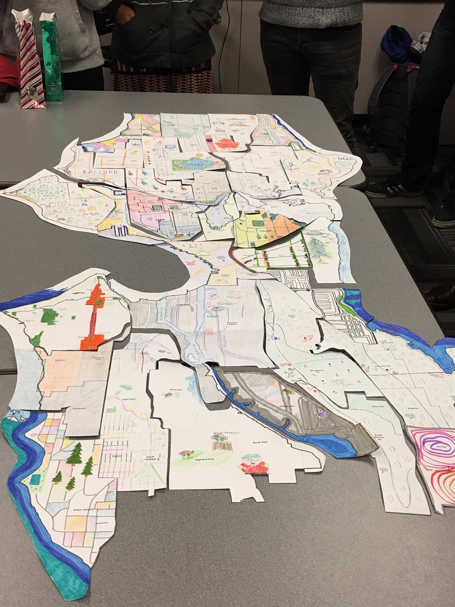
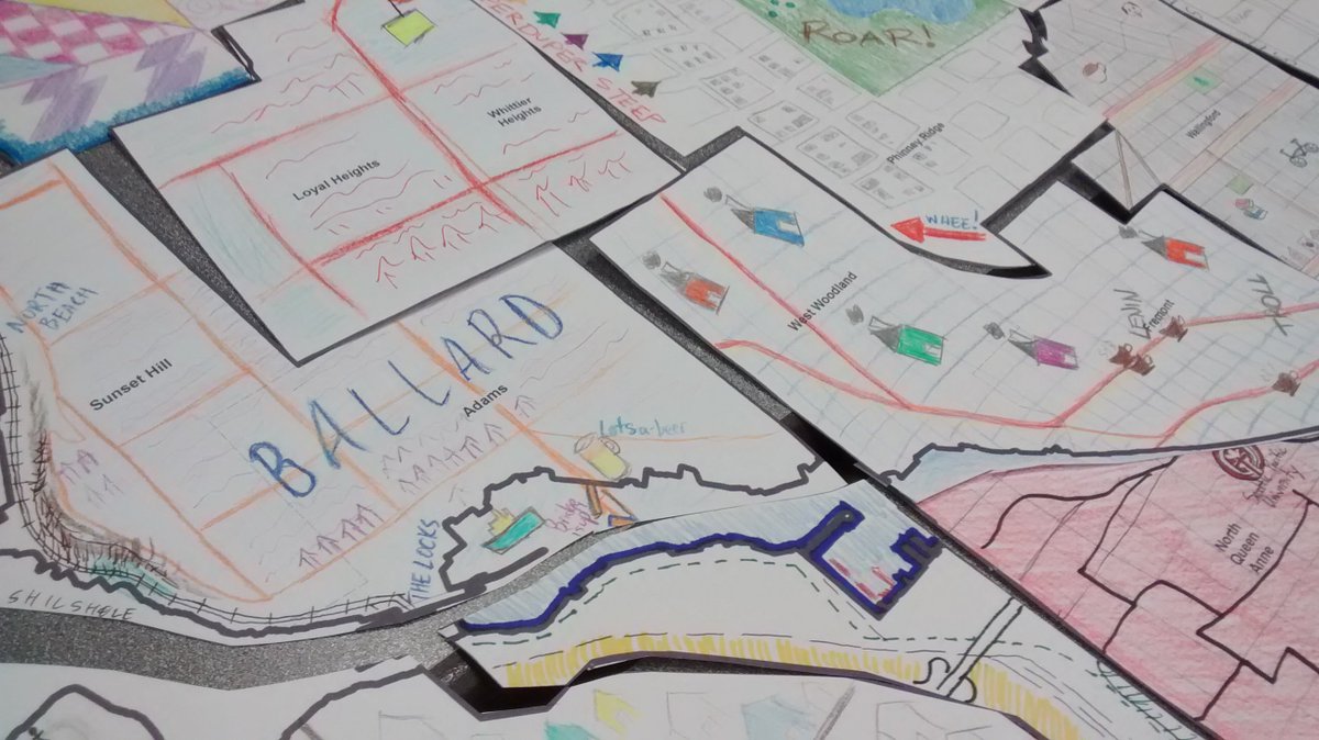
Hand drawn grid
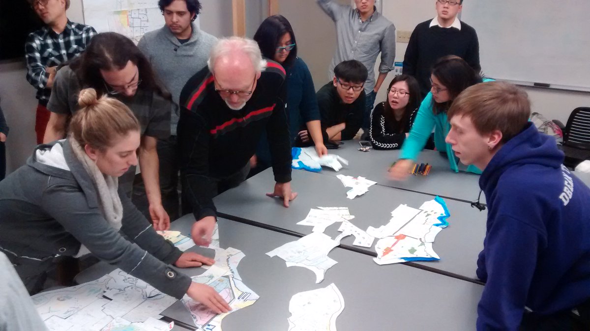
The group project involved taking a map of Seattle and breaking it up into a grid, with enough cells for each individual coming to the meetup.
The goal is to have everyone choose a cell and draw that part of the grid using whatever tools and supplies they wanted and combine them at the end. Everyone chose a grid to their liking and took off - the project as a whole took about 1.5 hours. Here is the final product, with some close-ups: